Description
Características
Upgraded Features
- Increased memory: 100,000 sets of data
- More stable communication: single-eye optical, easy to clean, more scratch resistant
- Stronger, robust design: double o-ring seals for two times over pressurization rating
- Better thermistor and conductivity sensitivity: upgraded platinum RTD and conductivity sensor
- Superior protection in harsh conditions: baked-on coating using polymerization—inside and out
Funcionamiento
Software Calibration and Data Wizards guide you through conductivity calibration and barometric compensation, ensuring accurate data sets. The Data Wizard also converts conductivity readings to Specific Conductance (@ 25ºC).
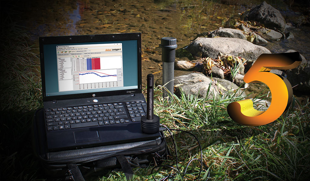
Levelogger Software allows you to easily program your preferences, download data, and display data in a graph or table format or export to other programs. Real Time View allows immediate viewing of live water level, conductivity, and temperature readings.
Leveloggers are easy to deploy; install with direct read cables or wireline/cord suspension. The Levelogger 5 LTC is SDI-12 compatible using the Solinst SDI-12 Interface Cable.
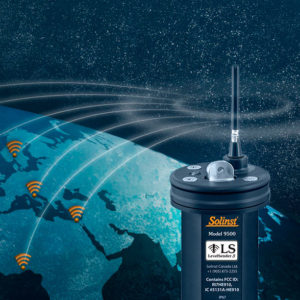
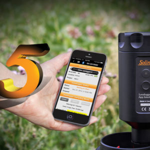
Download data in the field using the new Field Reader 5, DataGrabber 5 USB data transfer device, or through Bluetooth® using the Levelogger 5 App Interface and your smart device. Integrate the Levelogger 5 LTC with Solinst Telemetry Systems, which use the latest wireless technologies.
| LTC models | Full scale (FS) | Accuracy | Resolution |
| M5, C80 | 5 m (16.4 ft.) | ± 0.3 cm (0.010 ft.) | 0.001% FS |
| M10, C80 | 10 m (32.8 ft.) | ± 0.5 cm (0.016 ft.) | 0.0006% FS |
| M20, C80 | 20 m (65.6 ft.) | ± 1 cm (0.032 ft.) | 0.0006% FS |
| M30, C80 | 30 m (98.4 ft.) | ± 1.5 cm (0.064 ft.) | 0.0006% FS |
| M100, C80 | 100 m (328.1 ft.) | ± 5 cm (0.164 ft.) | 0.0006% FS |
| M200, C80 | 200 m (656.2 ft.) | ± 10 cm (0.328 ft.) | 0.0006% FS |
Aplicaciones
- Salt water intrusion and soil salination monitoring.
- Plume remediation monitoring and studies.
- Leachate monitoring at landfills, mine tailings, waste disposal storage sites, and more.
- Agricultural and stormwater runoff monitoring.
- Create a historical database for potable water supply monitoring.
- Tracer tests.

